Log in
All resources
Create a design
33,884 Free Images of 1764 Maps
maps of the west-indische compagnie
maps made in the 17th century
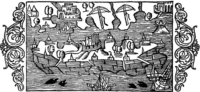
atlantis magni tomus tertius (biblioteca comunale di trento)
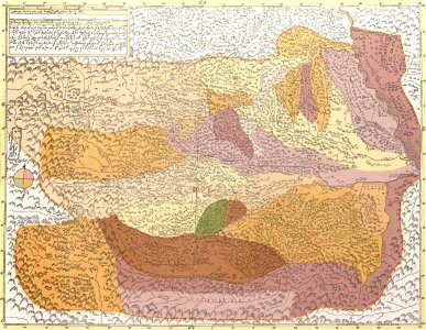
description of kingdom of georgia
its habits and canons
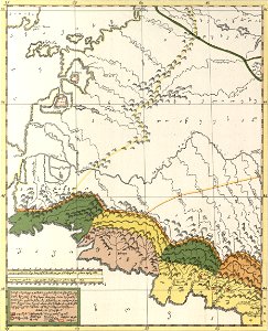
1740s maps of georgia
georgian-language maps
georgia in the 1740s
charte von schwaben (bohnenberger)
1705
maps from the mechanical curator collection available to georeference
maps from the mechanical curator collection
images from bristol past and present (1882)
bristol
maps made in the 17th century
danimarca
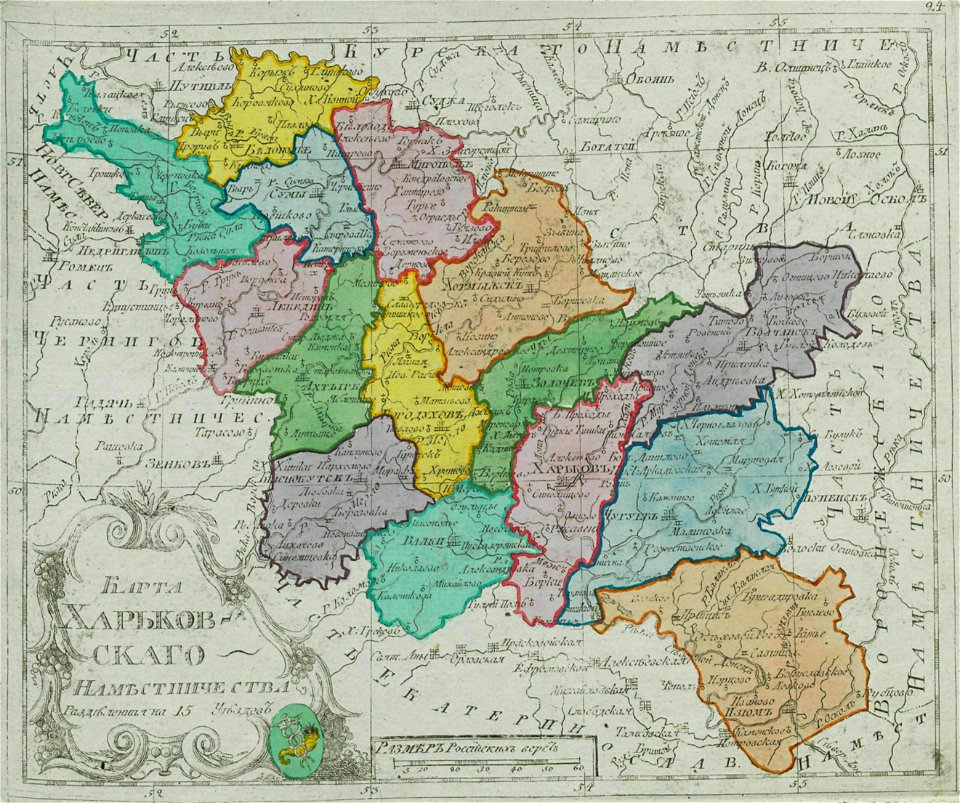
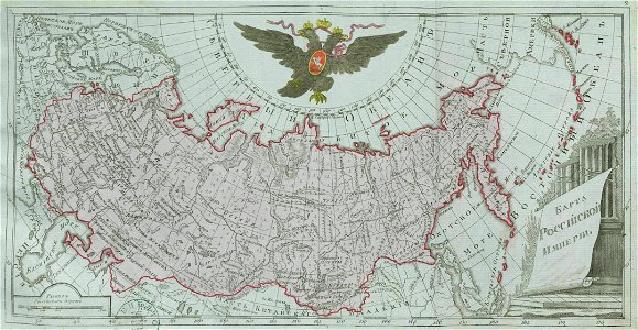
small atlas of the russian empire (1792)
kharkov viceroyalty
dutch 17th-century prints in the rijksmuseum amsterdam
netherlands
pictorial history of the russian war 1854-5-6 by george dodd
1856 maps of georgia
maps made in the 17th century
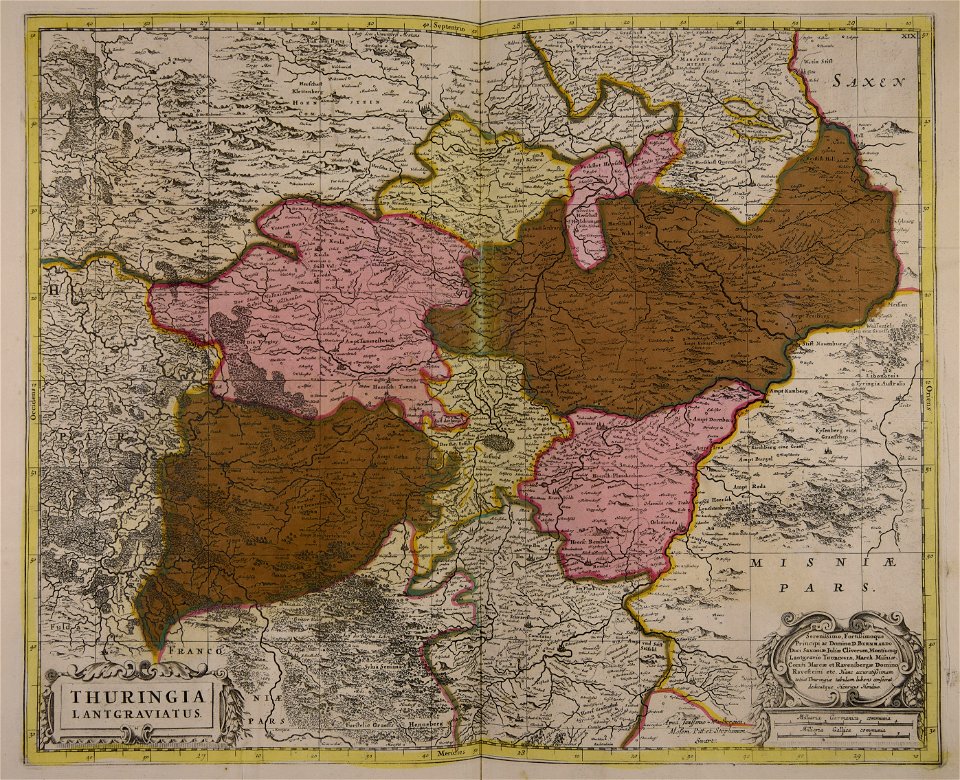
old maps of brandenburg
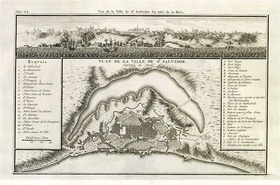
19th-century maps of brazil
maps by alexandre vuillemin
old maps of the russian empire
1856 maps
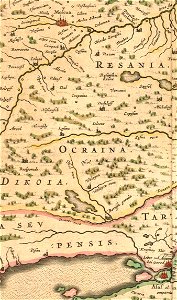
description of kingdom of georgia
its habits and canons
description of kingdom of georgia
its habits and canons
prints from manesson travaux de mars at the peace palace library
old maps of béthune
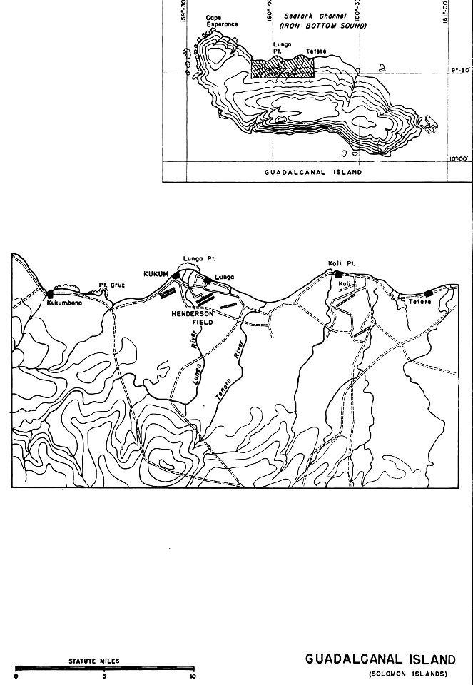
henderson field (guadalcanal)
solomon islands
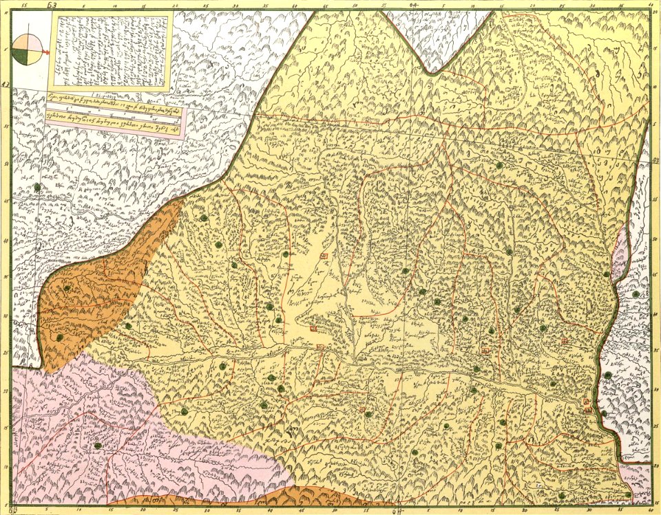
description of kingdom of georgia
its habits and canons
atlantis magni tomus tertius (biblioteca comunale di trento)
maps made in the 17th century
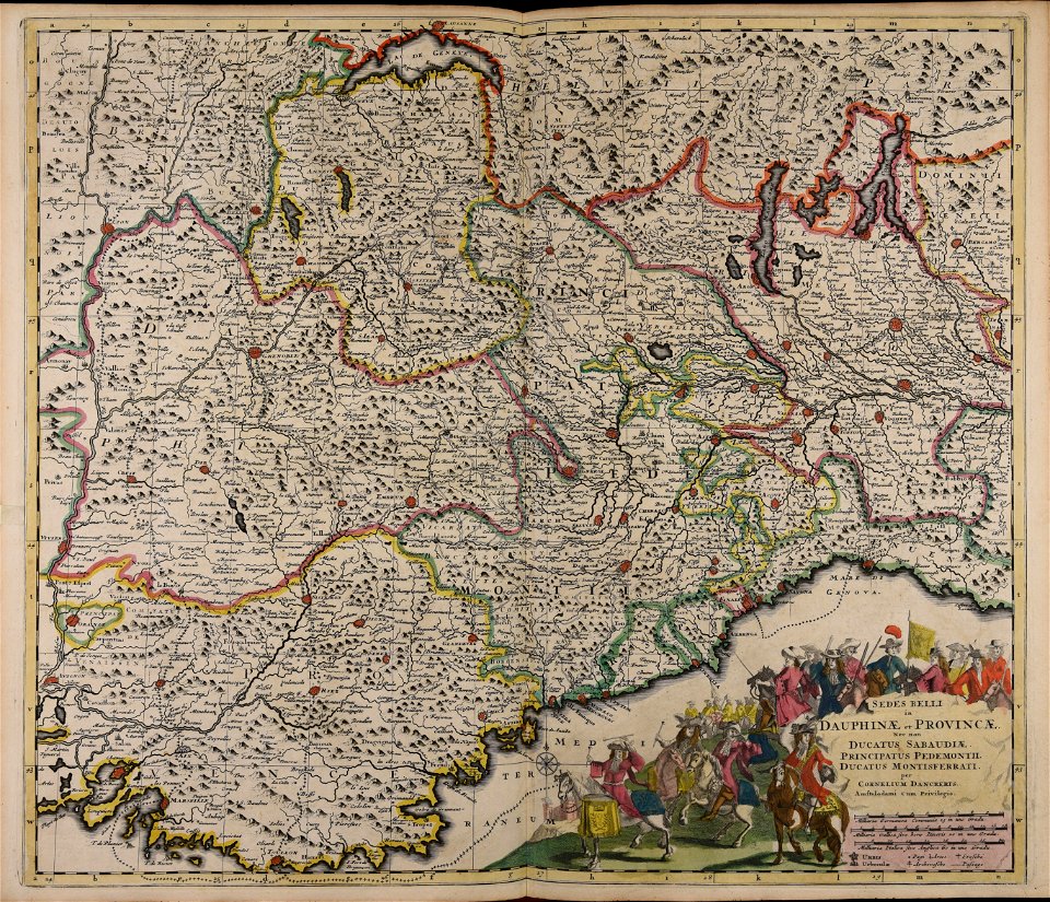
maps of the franco-dutch war
history of the french navy
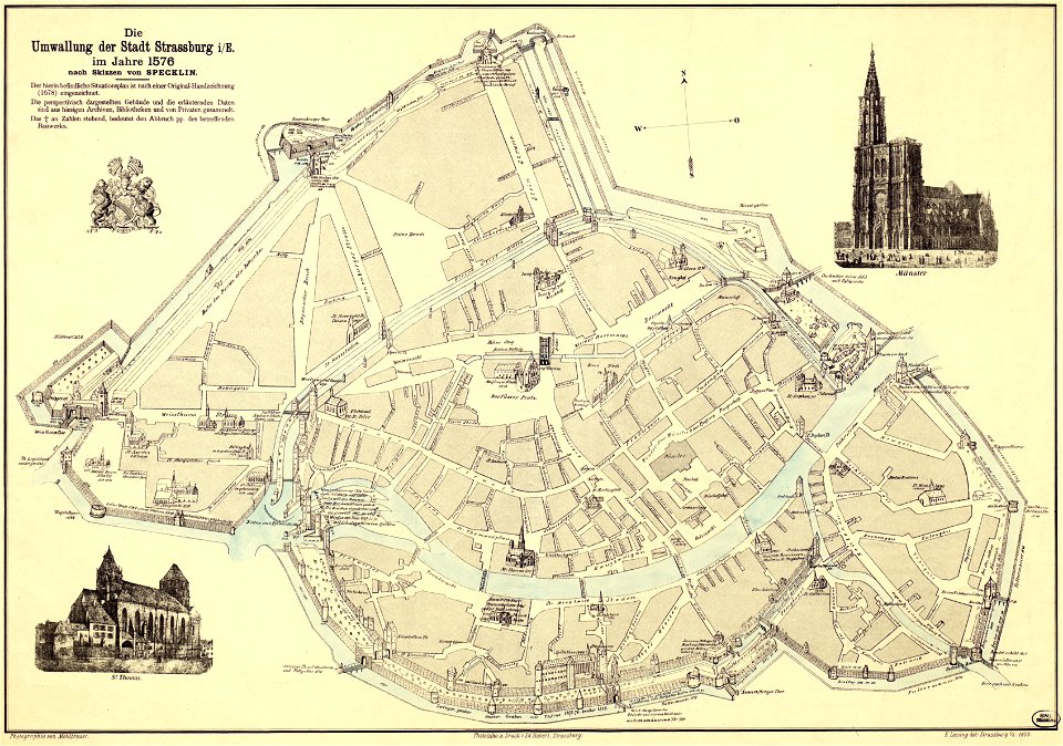
collections de la bibliothèque nationale et universitaire de strasbourg
maps by daniel specklin
engravings in the rijksmuseum amsterdam
old maps of venice
popular science monthly illustrations/volume 32
low pressure systems
maps of fort fisher
fort fisher
atlantis magni tomus quartus (biblioteca comunale di trento)
maps by nicolaes visscher i
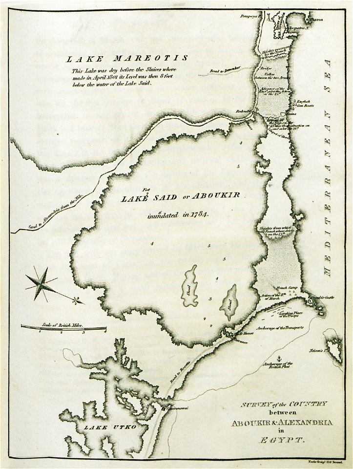
old maps of alexandria
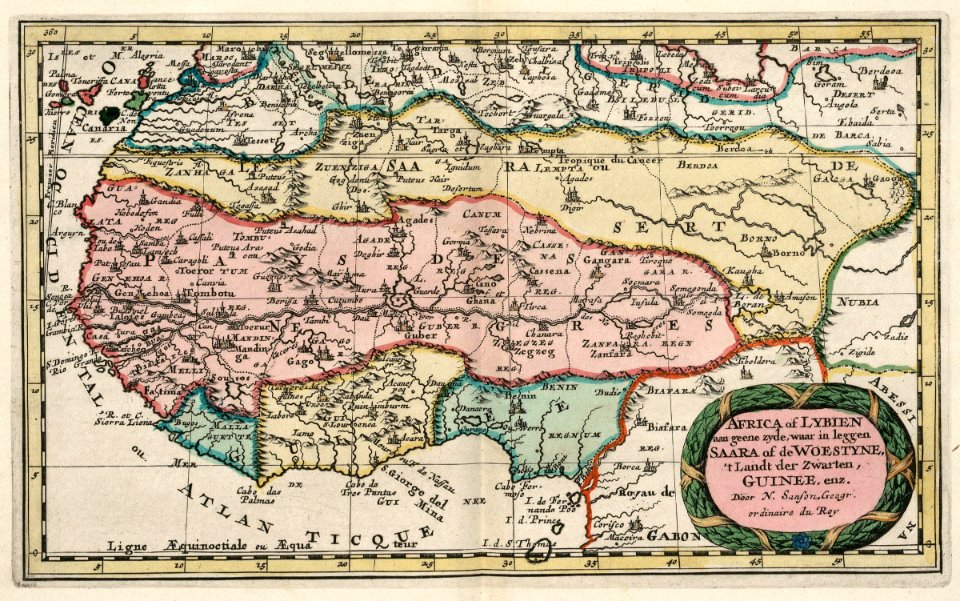
asia and africa
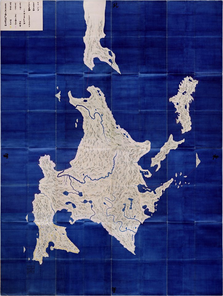
important cultural property of japan in tokyo
maps in the national archives of japan
maps by willem and johannes blaeu
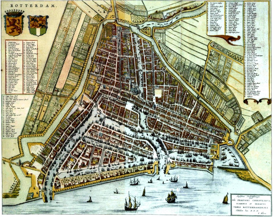
old maps of rotterdam
maps made in the 17th century
cornelis danckerts (i)
atlas of the russian empire (1800)
maps of astrakhan governorate
old maps of the russian empire
catherine the great
maps made in the 17th century
old maps of skåne
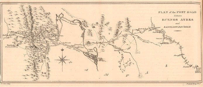
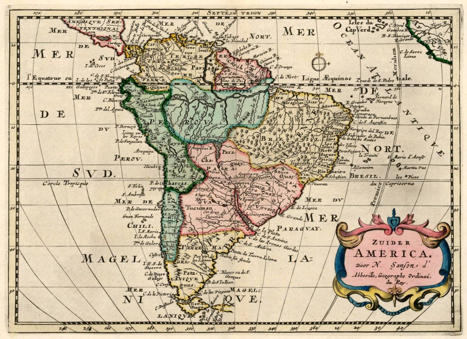
19th-century maps of argentina
1820s lithographs
maps made in the 17th century
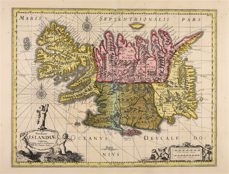
old maps of iceland
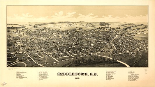
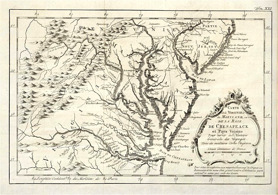
orange county
new york
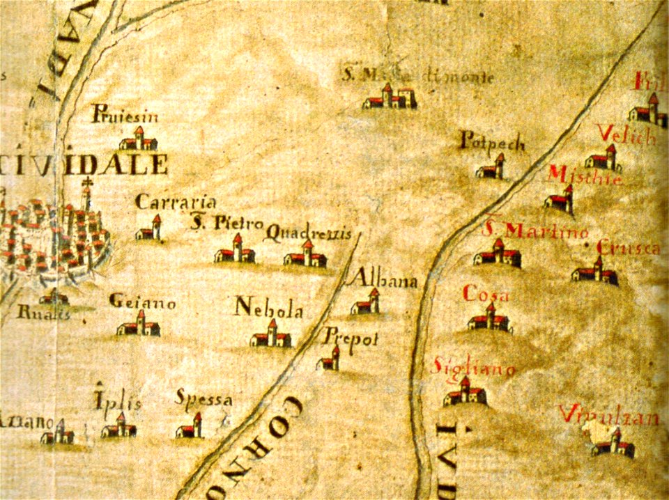
santuario della beata vergine di castelmonte
historical images of cividale del friuli
maps made in the 18th century
gerard valck
historia de gentibus septentrionalibus
öland
description of kingdom of georgia
its habits and canons
description of kingdom of georgia
its habits and canons
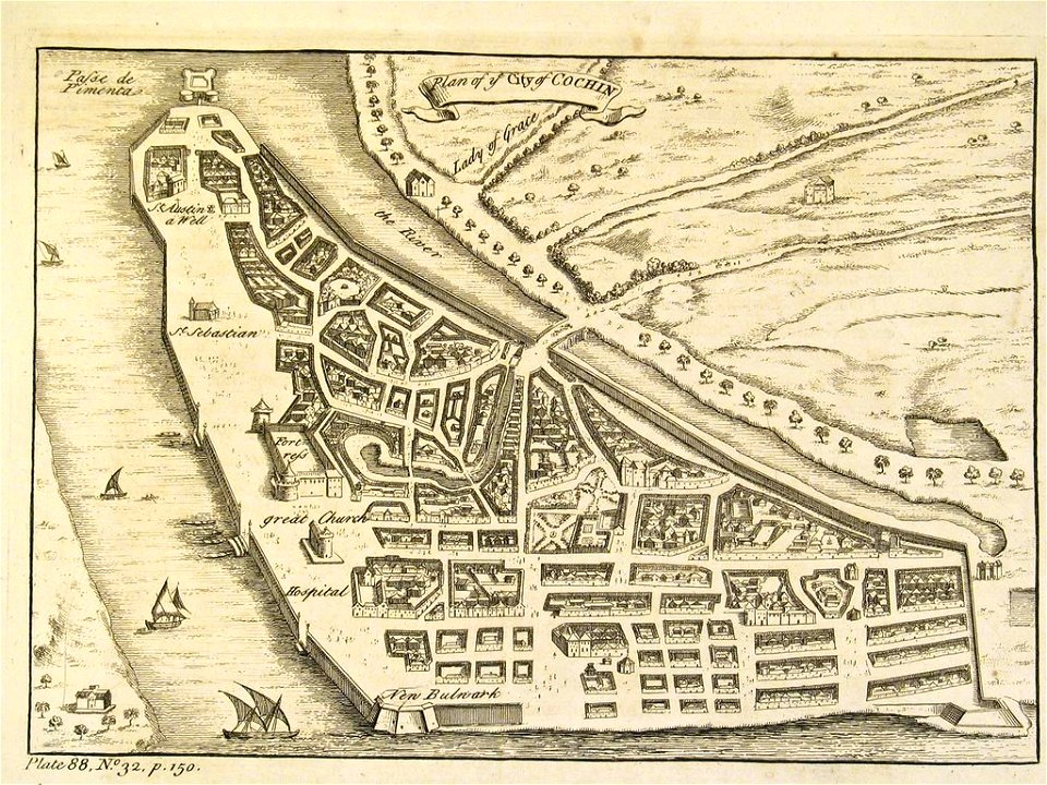
old maps of the malabar coast
18th-century maps of india
maps of waterways in the netherlands
collections of stadsarchief delft
old maps of the tsardom of russia
history of valuyki
maps made in the 18th century
gerard valck
maps made in the 18th century
gerard valck
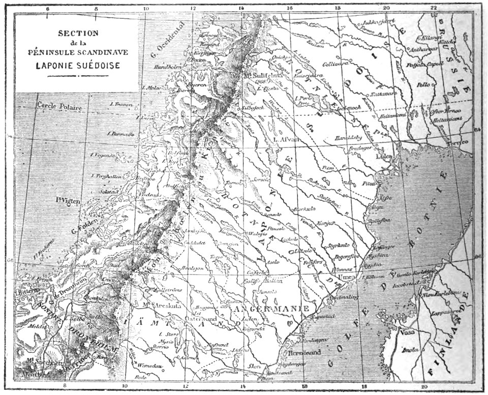
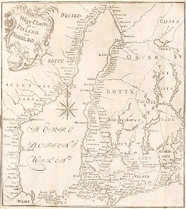
19th-century maps of sweden
sweden in the 1850s
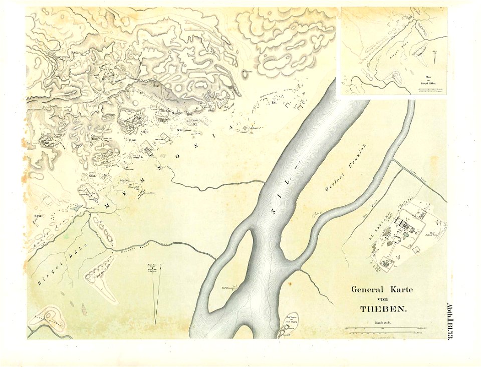
karnak temple complex
thebes
maps made in the 17th century
old maps of alsace
cornell university library
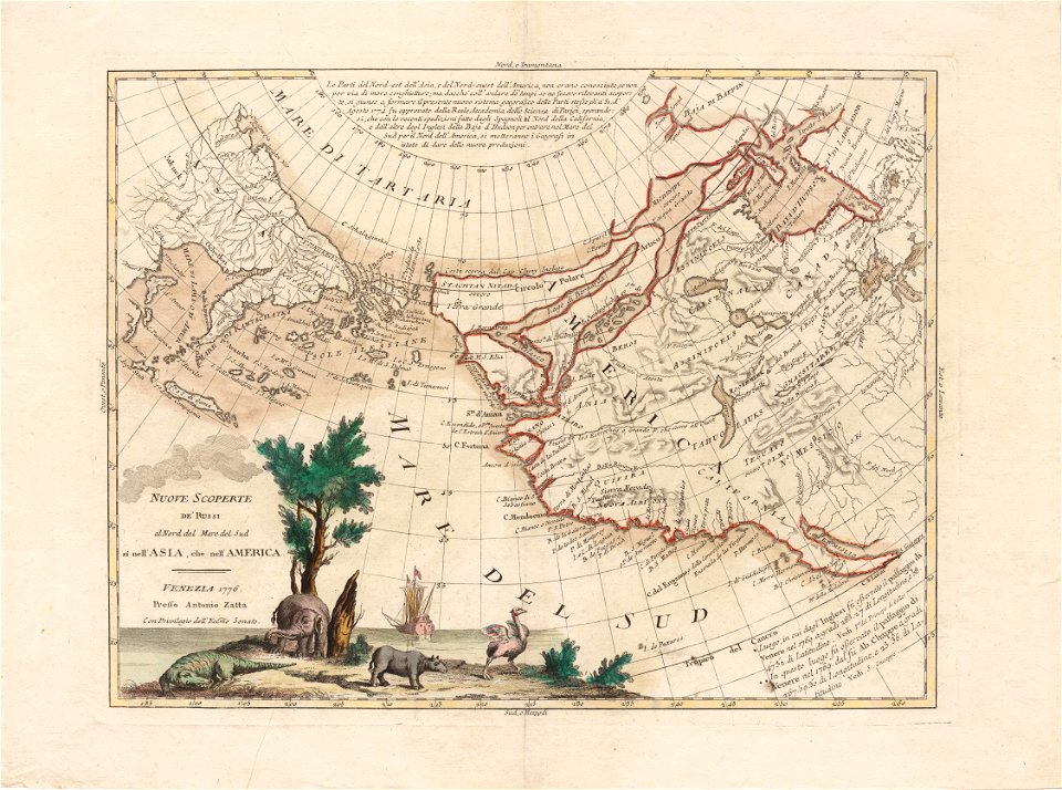
north pacific
maps made in the 17th century
jan janssonius
helgeladt in annis christi 800
1300 & 1649
braunschweig in the 1880s
old maps of braunschweig
atlantis magni tomus tertius (biblioteca comunale di trento)
maps made in the 17th century
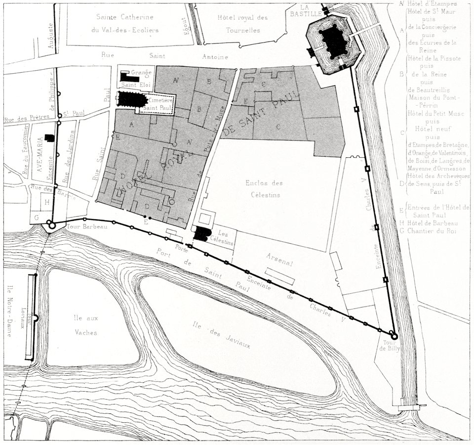
quartier de l'arsenal
bastille
carte de la mer mediterranée (1764) by roux
eran laor cartographic collection
portrait paintings of standing men with right hand on hip
1834 deaths
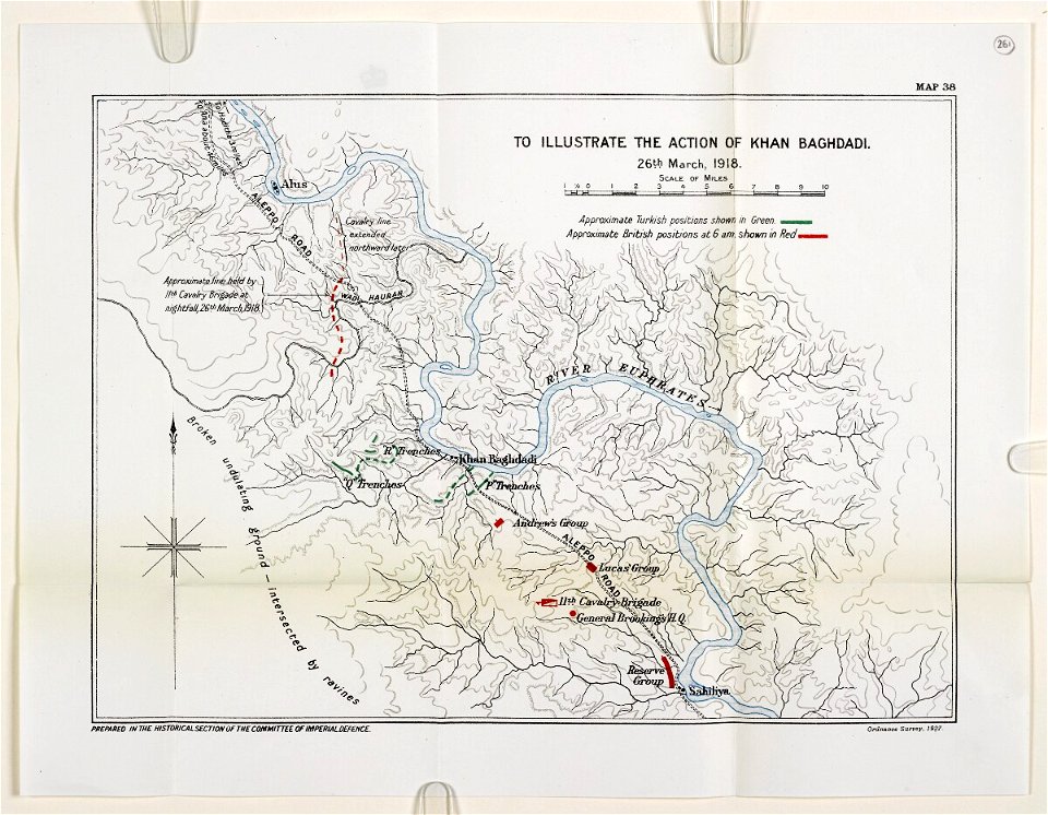
mesopotamian campaign maps of world war i
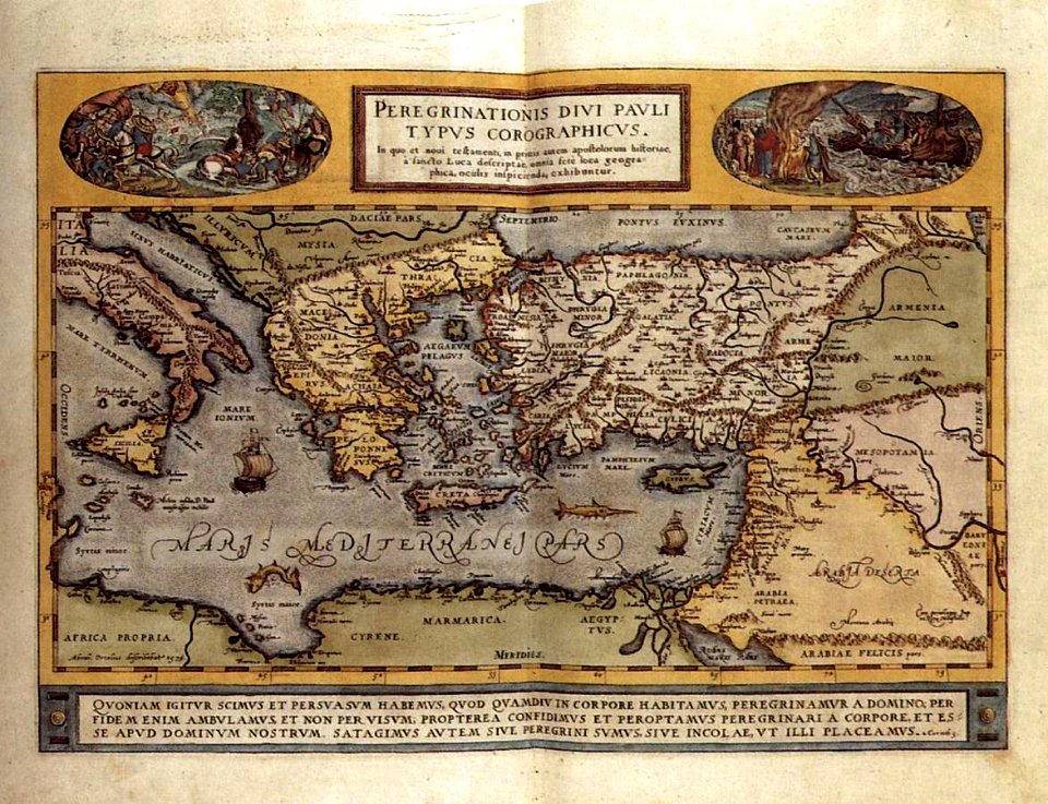
maps by abraham ortelius
16th-century engravings
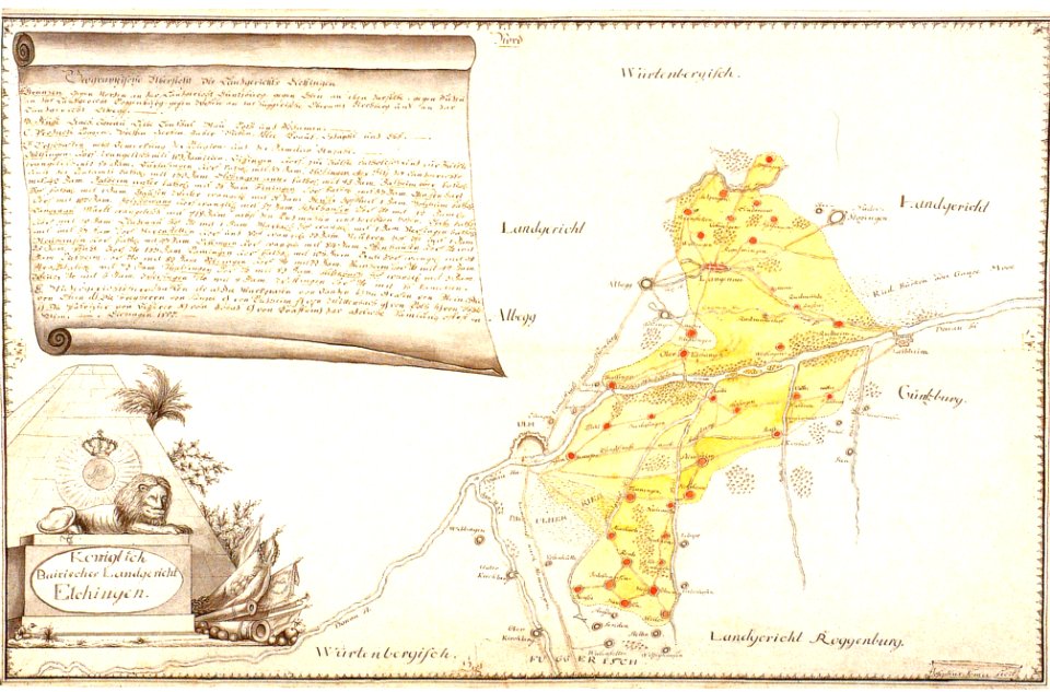
history of elchingen
old maps of bavaria
description de l'universe
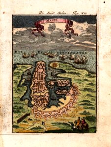
old maps of valletta
engravings by william miller
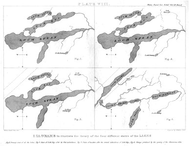
maps of lakes
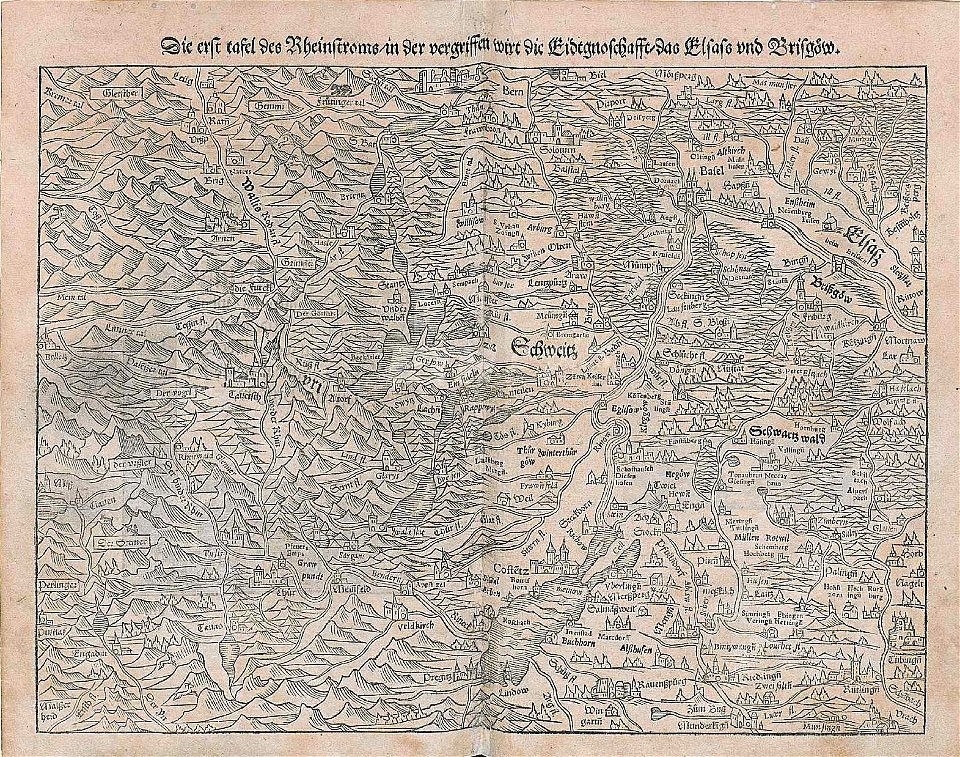
maps by sebastian münster
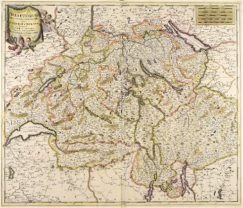
rhine in switzerland
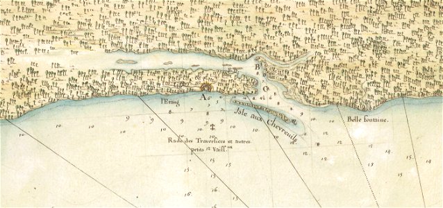
mississippi
biloxi
joseph pitton de tournefort
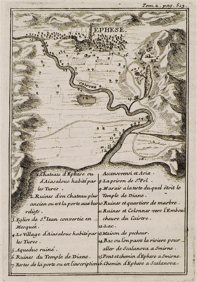
maps of ephesus
maps by sebastian münster
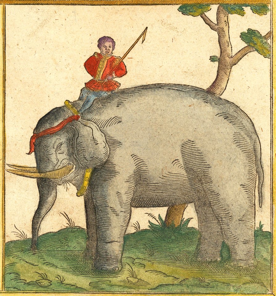
elephants in art
18th-century maps of finland
georg biurman
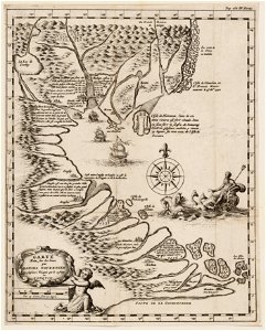
maps in the amsterdam museum
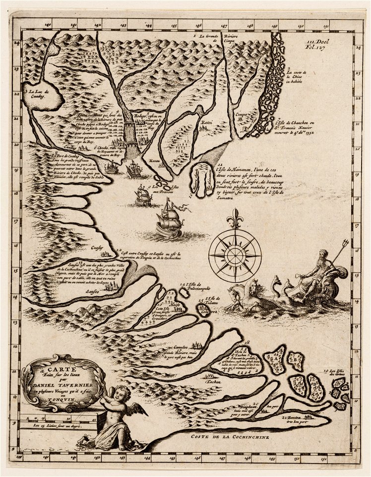
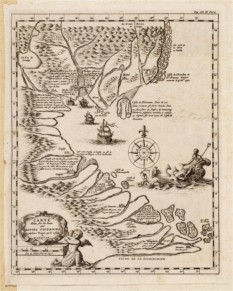
daniel tavernier
maps in the amsterdam museum
daniel tavernier
maps in the amsterdam museum
daniel tavernier
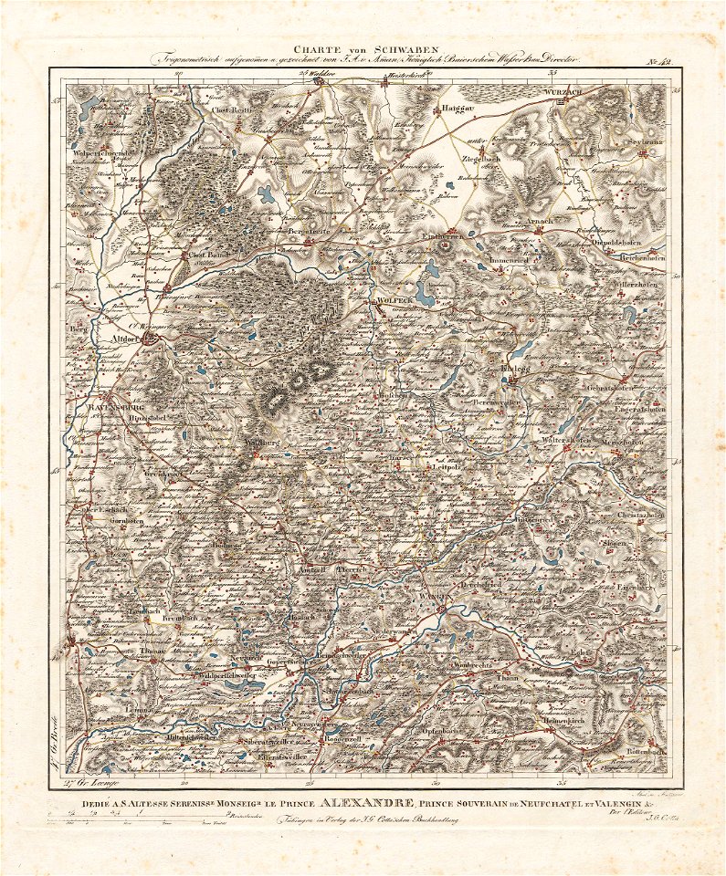
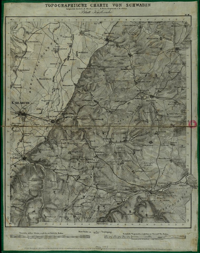
charte von schwaben (bohnenberger)
maps of heilbronn
charte von schwaben (bohnenberger)
maps of stuttgart
charte von schwaben (bohnenberger)
maps of ravensburg
charte von schwaben (bohnenberger)
maps of karlsruhe
charte von schwaben (bohnenberger)
maps of ulm
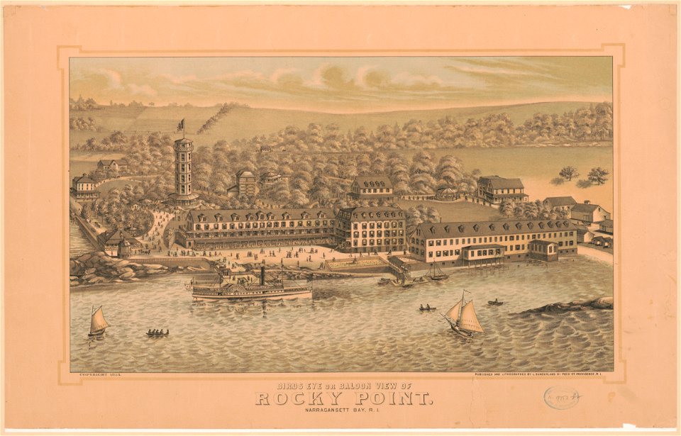
bird's eye view maps of rhode island
bird's eye view maps of rhode island
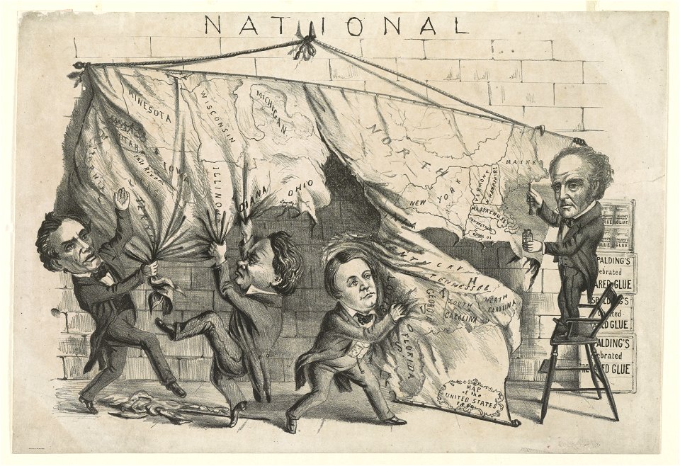
cartoons of the united states
unidentified maps
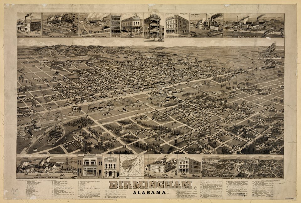
maps of birmingham
alabama
maps of birmingham
alabama
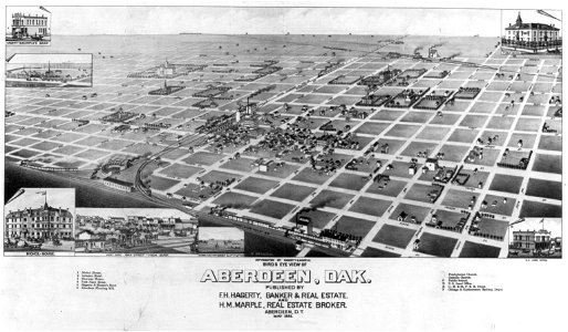
bird's eye view maps of south dakota
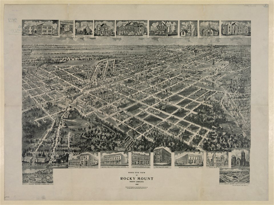
bird's eye view maps of north carolina
thomas salmon (historian)
old maps of india
1540s maps of the world
petrus apianus
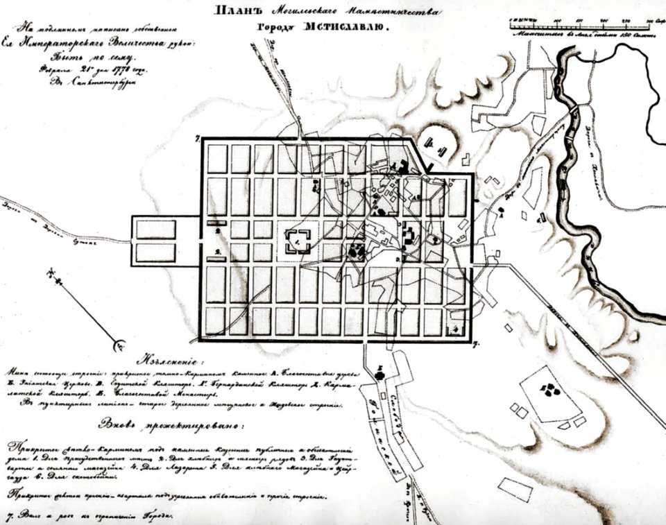
historical images of mscislaŭ
maps of mscislaŭ
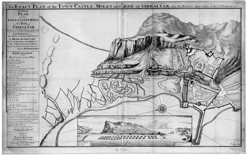
old maps of gibraltar
capture of gibraltar
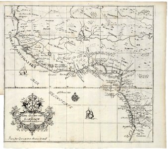
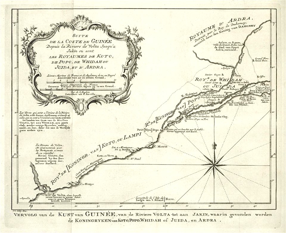
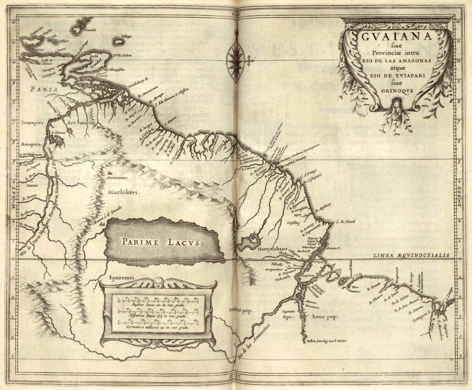
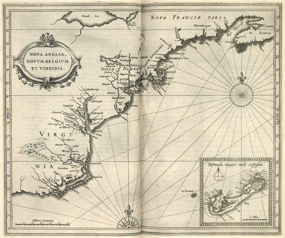
maps of the west-indische compagnie
1622
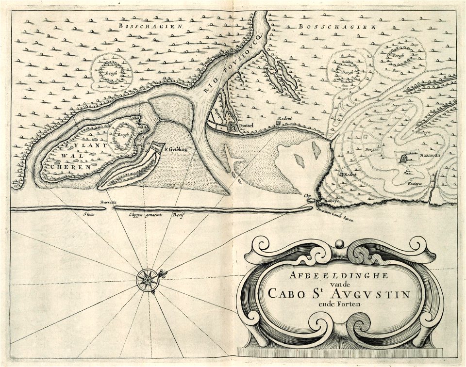
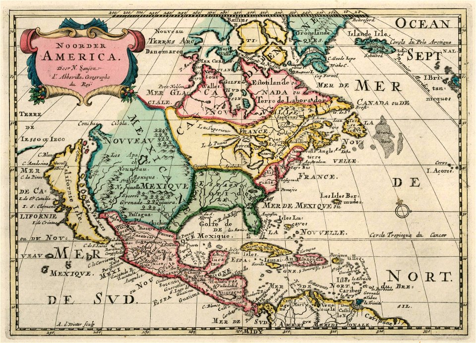
maps of the west-indische compagnie
1745
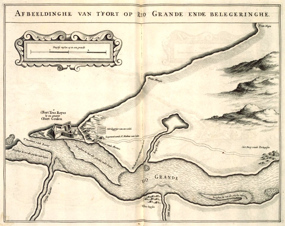
maps of the west-indische compagnie
1780
maps of the west-indische compagnie
1780
maps of the west-indische compagnie
1746
maps of the west-indische compagnie
1750
maps of the west-indische compagnie
1727
historical images of mscislaŭ
maps of mscislaŭ
maps of the west-indische compagnie
1705
maps of the west-indische compagnie
1747)
maps of the west-indische compagnie
1630
maps of the west-indische compagnie
1644
maps of the west-indische compagnie
1705
maps of the west-indische compagnie
1705
maps of the west-indische compagnie
1644
maps of the west-indische compagnie
1630
maps of the west-indische compagnie
1705
maps of the west-indische compagnie
1705
maps of the west-indische compagnie
1644
5701 - 5800 of 33,884
Next page
/ 339